


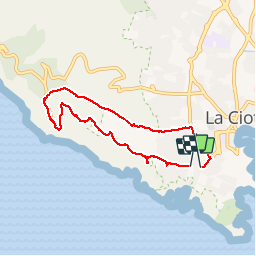


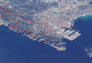
12,1 km | 19,9 km-effort


Utilisateur


Application GPS de randonnée GRATUITE
 SityTrail
IGN / Instituts géographiques
SityTrail World
Le monde est à vous
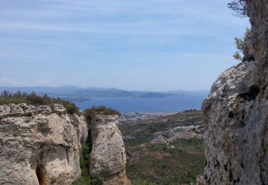
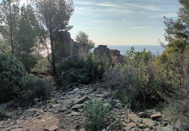
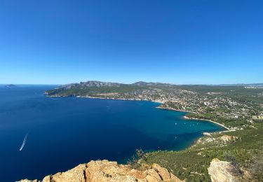
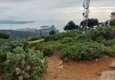
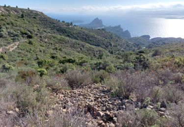
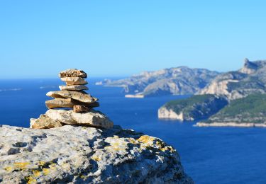
Randonnée Marche de 7,8 km à découvrir à Provence-Alpes-Côte d'Azur, Bouches-du-Rhône, La Ciotat. Cette randonnée est proposée par famille_jacquet.
Aérienne
Marche
Marche

Marche
Marche
Marche
Marche
Marche
Marche
Marche
toutes les cartes stockées ont disparutout est a refaire .ce matin je n aurais pas de carte